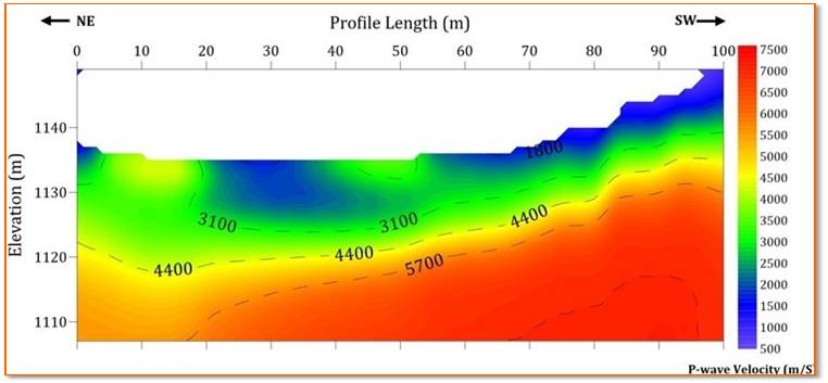
Seismic Refraction Tomography
The seismic refraction method is one of the most developed geophysical techniques that profiles the subsurface by determining the path and velocity of compression or shear waves. The recorded compression waves are used to map geological conditions, such as fracture, lithology, bedrock topography, depth of gravel, determination of sand or clay deposits, detection of large boulders, depth of the water table etc. This method is widely used in civil engineering and environmental studies.
Survey Methodology
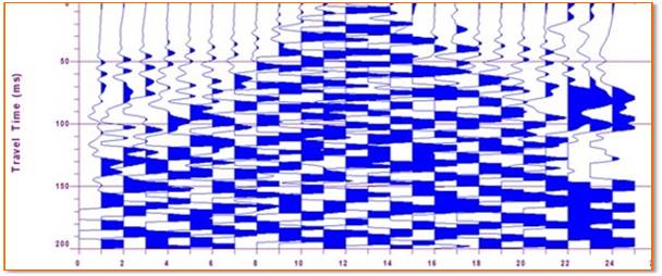
The geophones are distributed in a line and the signals are transmitted to the seismograph by a spread cable. The length of the receivers spread should be 3 to 4 times the depth of the investigation. The position of the source point is not placed too close to the geophone and in general practice the source point offset for the production work is decided on a test basis. Instead of perpendicular offset, it is generally placed inline with some offset from the receiver line. This configuration allows the most accurate analysis of reciprocal times because the shots are exactly located at the end of the line.
- Mapping of Bedrock Topography
- Detecting Shallow Faults and Fracture Zones
- Geotechnical Surveys
- Engineering Geology
- Mineral exploration
- Site Remediation
- Surface Wave Analysis