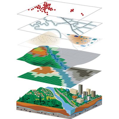
Geographic Information System (GIS) is a computer system that analyzes, manipulate, store, manage and display all kinds of spatial or geographical data. It uses data that is attached to a unique location. Geographic Information Systems gives solutions to some about the queries relating to location, patterns, and trends. We provide a wide range of GIS services.
Cartography
Cartography is one of the most effective way of representing a map and it helps us understand our place in the world, analyze situational relationships, and reflect on the impact of geography on our daily lives.
- Product Layout and Development
- Map Design and Production
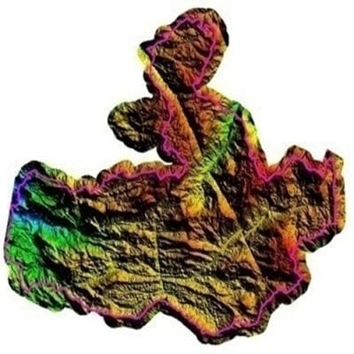
- 3D Modeling
- 2D Modeling
- Aerial Survey
- Flood mapping
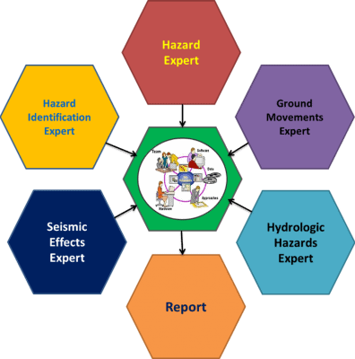
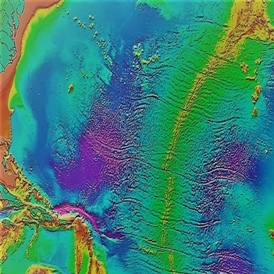
Geohazard Risk Assessment
We provide the risk assessment of geological hazards of the line landslide based on remote sensing and GIS. The risk analysis supported by GIS in geo-hazard study is one of the most important directions.
- Flood Hazard Mapping
- Hydrological Hazard
- Earthquake Hazard
- Landslide Hazard
Digitization
We offer Digitization services that are of global standards and produce products with high precision and quality. Our experts can handle any digitization project.
- 2D Digitization
- 3D Digitization
- Paper to CAD


Engineering Services
GIS is transforming, disrupting, and expanding the ways engineers serve society. It provides layers of data on top of geographic maps that can help engineers and others make better-informed decisions. The GIS provides tools for modeling information to support more intelligent, faster decisions; discover and characterize geographic patterns; optimize network and resource allocation; and automate workflows through a visual modeling environment.
- DTM
- Satellite Based Planning
- Geo Referencing
- Elevation Profiling
- Roads
- Tunnel
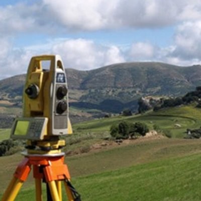
Topographical Survey
A topographic survey is study of the shape and features of land surface. It helps us to determine the configuration of the earth’s surface and to locate natural and cultural features on it. Topographic map provides about the information of natural and artificial features such as streams, lakes, buildings, highways, etc.
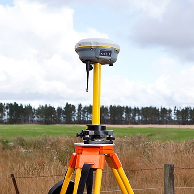
- Total Station
- DGPS
- Drone