We offer a non-destructive and cost-effective solution for surface imaging
Electrical Resistivity Tomography
Electrical Resistivity Tomography (ERT) is an advanced geophysical method used to characterize subsurface conditions by mapping the spatial distribution of electrical resistivity. The technique involves introducing a controlled electrical current into the ground through a set of electrodes, while measuring the resulting potential differences across other electrodes. Variations in resistivity are associated with changes in lithology, porosity, fluid content, and geological structures. The acquired data are processed through inversion algorithms to produce detailed 2D or 3D resistivity models of the subsurface, making ERT highly effective for applications such as groundwater exploration, mineral investigation, environmental studies, and engineering site characterization.
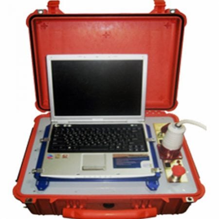
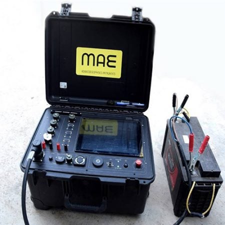


Data Acquisition
The acquisition of resistivity data involves the injection of current into the ground via a pair of electrodes and then the resulting potential field is measured by a corresponding pair of potential electrodes. The field set-up requires the deployment of an array of regularly spaced electrodes, which are connected to a central control unit via multi-core cables. Resistivity data are then recorded via complex combinations of current and potential electrode pairs to build up a pseudo cross-section of apparent resistivity beneath the survey line. The depth of investigation depends on the electrode separation and geometry, with greater electrode separations yielding bulk resistivity measurements from greater depths.
ERT Applications
Electrical resistivity tomography (ERT) is one of the important geophysical subsurface-imaging techniques and is widely applied for mineral prospecting and mapping of geological formations. We conduct ERT surveys based on customer's requirements with 48 and 120 electrode systems.
The advance subsurface geophysical investigations are helpful for reducing and optimizing the involvement of traditional direct exploration methods, while aiding in the rapid and economical development of underground construction projects.
Groundwater flow in an underground mine seriously affects its mining planning and engineering geology safety. Our surface geophysical techniques are powerful tools for developing dewatering strategies.
Surface geophysical methods are quick, economical and non-invasive way to determine the characterize subsurface geology which helps to get the information on the subsurface geology such as thickness of the subsurface strata, depth of the bed rock and the presence of the conductive fluids, extent and the depth of water contamination.
Electrical resistivity imaging method technique is extremely useful for investigations of groundwater. ERT can be utilized for multiple applications, including identifying subsurface contaminant plumes, general geologic mapping, locating flow pathways, fractures, and porous zones in subsurface stratigraphy/lithology, geotechnical investigations, sinkhole and karst mapping and aquifer delineation/water quality analyses. The use of resistivity sounding and other techniques is unsuitable in complex geological areas where ERT survey gives excellent results in complex geology.
We offer non-invasive and non-destructive techniques for dam screening or routine monitoring and detection of extreme conditions. Our non-invasive technology provides an excellent solution for identifying water leak paths, internal erosion or fractures, weak zone determination, etc.

