Gravity and magnetic surveys play an important role in mapping geological structures. It can often help you to understand what’s going on with minimal costs before going with just seismic. Also, it allows you to fine-tune and improve your exploration program. Gravity and magnetic interpretation is a low cost exploration technique that can add a lot of upfront value to our exploration plan. In oil & gas or Mineral Exploration who want to maximize target effeteness and minimize costs, gravity magnetic survey would be the great technique.
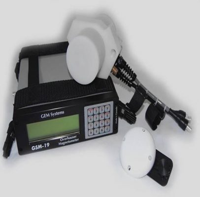
Magnetic methods are based on the measurements at the surface of small variations in the magnetic field. The magnetic field is affected by any variation in the distribution of magnetized rocks. The most sedimentary rocks are nearly non-magnetic, but underlying igneous or basement rocks are slightly magnetic. Therefore if geologic movements involve these magnetic rocks, the resulting irregularities will cause corresponding variations in the intensity of the magnetic field at the surface.
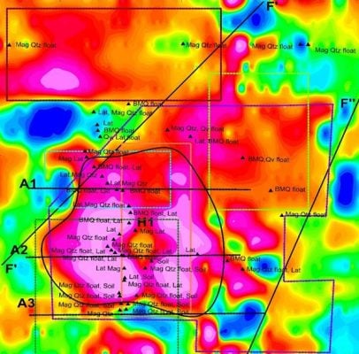


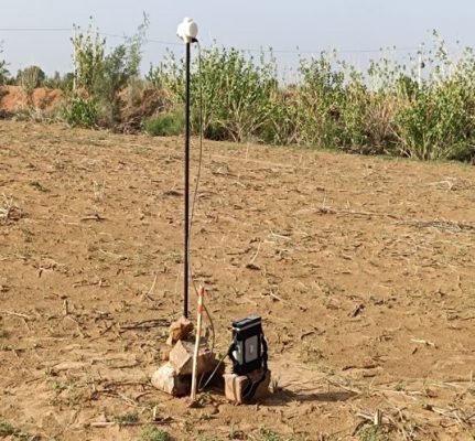
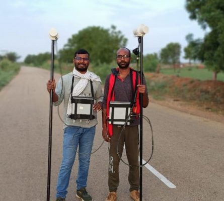
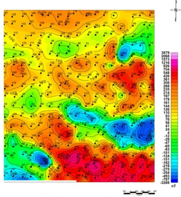


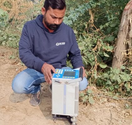
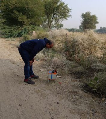
Gravity method is one of the geophysical prospecting method which measures the variations in gravitational field of the earth. These variations are caused by lateral changes in the density of near surface rocks. The spacing of the stations is decided depending on the type of survey, generally 10 m to 20 m is considered best for mineral exploration.
Your trusted Partner for Geophysical services